
Tuscaloosa Neighbor Record Sources
A block result should begin with coverage, not names. Tuscaloosa County’s GIS and property cards define the nearby parcels. City planning packets add proposals, applicants, and public addresses. A lawfully requested voter extract can add selected public fields, while old street sections in city directories supply a dated view of former occupants. Official community plans explain local geography but are not lists of residents.
| Source | What It Shows About a Block | Access |
|---|---|---|
| GIS and property cards | Adjacent parcels, boundaries, owner and situs | Free county map and linked records |
| Planning cases | Nearby addresses, applicants, proposals and decisions | Public city packets and case pages |
| Voter list | Selected public voter fields at an address | Paid statutory extract; suppression applies |
| City directory street section | Named occupants in the issue year | TPL or ADAH research access |
| Neighborhood plans | Area boundaries, streets and public context | Free city planning documents |
No listed source proves a full household. The parcel roll omits people who are not named owners. The voter file excludes nonvoters and suppresses protected details. A dated directory records only those included by its publisher. Use the table as a set of distinct clues, not as interchangeable rolls.
Map Tuscaloosa Neighbors by Parcel
The defensible definition of “adjacent” is geometric. Start with the subject parcel and capture each polygon that shares an edge with it. Properties across the street may feel like part of the same block, but label them as nearby rather than adjacent. Keep parcel identifiers because postal numbering can skip, repeat, or fail to match the map sequence.
- Find the address in Tuscaloosa County Public GIS and open its property link.
- Zoom until parcel outlines and labels can be read. Save the subject parcel number and situs address.
- Click each edge-sharing polygon in turn. Record the parcel ID, owner, mailing address, and legal-description clues.
- Add across-street lots as a separate nearby group. Recheck every property card before drawing a conclusion.
A whole-road inquiry needs a different scale. The Tuscaloosa streets page follows the full named street, while a neighbor lookup stays with the immediate block.
Tuscaloosa Owners Are Not Occupants
The Public GIS/CAMA card separates the parcel’s physical or situs address from the owner’s mailing address. Matching addresses, paired with a homestead exemption, can support an owner-occupancy inference. It still does not identify every person at the property. A different mailing address may mean an absent owner or simply another preferred mail destination.
Condominium and multifamily sites need extra restraint. One tax polygon can represent many units, while the assessed owner may be a company or association. A single polygon is never a head count. County mapping also warns that tax maps are for tax purposes and do not convey title. The deed and plat control legal ownership and boundaries.
Broad CAMA searches stop at 100 results and can export to Excel. For neighbor research, that limit is a useful reminder to keep the result set small. Save the dataset or build date, then confirm each parcel card because GIS completeness and timing can change.
Note: Keep owner, occupant, mailing recipient, and registered voter as four separate roles throughout a Tuscaloosa neighbor search.
Tuscaloosa Neighborhood Plan Boundaries
Tuscaloosa planning documents name real local areas such as Alberta, Forest Lake, West Tuscaloosa, downtown, Rosedale, and the University Area. They establish public geography, land-use context, streets, and planning concerns. Historic district maps and Historic Preservation Commission cases can add property addresses, applicants, and decisions around a block.
These boundaries should not be turned into membership claims. A parcel inside the Forest Lake plan area does not prove that its occupants joined an association. The University Area plan covers land between the river, McFarland Boulevard, 15th Street, and Queen City Avenue, yet it remains a planning frame, not a private roster. The same distinction applies to every city area plan.
Postal “Tuscaloosa” is also broader than the city line in some corridors. County parcel district and the city-limits map answer municipal jurisdiction. A postal place name alone cannot decide which city services or plan governs the block.
Verified Tuscaloosa Community Layers
The available local community sources are narrow and should be described that way. No authoritative citywide neighborhood-association inventory, HOA member directory, public block-watch roster, or congregation roster was found in the official research. No authoritative HOA or member roster was found for Tuscaloosa. Planning maps cannot fill that gap.
| Community Layer | Verified Presentation | Directory Limit |
|---|---|---|
| Alberta | City area and planning materials | Boundary and context; no member roster found |
| Forest Lake | Specific plan and Tuscaloosa Forward material | Physical-development context only |
| West Tuscaloosa | City community plan and maps | Public geography, not residents |
| University Area | Official area plan | Land-use context; no association roster found |
| Downtown | Participating business and organization listings | Members are not household occupants |
| Historic districts | City maps and preservation case pages | District and applicant data, not membership |
| West Alabama Chamber | Organization and public contact directory | Businesses and groups, not households |
A verified public organization listing can show an entity name, category, phone, public address, and website. It cannot identify the people who live next door. Contact a group through its own public channel and ask whether it publishes any lawful community material rather than assuming a private list exists.
Tuscaloosa Neighbor Voter Limits
My Voter Page confirms a voter’s own status, ballot status, and polling location. It is not an open block browser. Alabama’s separate voter-list request can select county, city, or district geography, active or inactive status, and public fields such as full name, residence, districts, race, gender, and participation in up to ten elections. Participation means an election in which someone voted, never the ballot choice.
Electronic lists cost one cent per voter, while print costs one dollar per page. Act 2021-335 permits specified judges, prosecutors, law-enforcement personnel, legislators, and spouses to suppress every public voter field except the name. Status also needs care. An inactive record is not proof that a person is ineligible or absent; Alabama’s confirmation periods can run through two federal general elections.
A lawful extract may add a dated registration clue to nearby addresses. It does not enumerate nonvoters or every person in a home, and Alabama does not register voters by party.
Tuscaloosa Neighbor Source Comparison
Official and commercial categories answer different questions. Official sources are narrow, dated, and tied to a custodian. Commercial neighbor tools may join public and private feeds, but their source dates and identity logic can be unclear. A polished profile is not stronger than a current parcel card or a properly obtained voter record.
| Category | Useful For | Main Caution |
|---|---|---|
| County parcel and GIS | Parcel geometry, owner and assessed facts | Not a complete household roll |
| City plans and cases | Boundary context and public proposals | Applicants are not always occupants |
| Statutory voter file | Selected registered-voter fields | Protected details and nonvoters are absent |
| Commercial compilation | Possible lead across mixed feeds | May be stale or merge same-name people |
Verify any commercial lead at the government source. Opting out of a private compilation does not delete the originating public record, and a correction must be taken to the office that keeps it.
Tuscaloosa Official Safety Lookups
Safety tools are separate from the parcel workflow. The ALEA Community Information Center is Alabama’s official public offender gateway. Local law enforcement registers covered people and changes of residence or workplace. Statutory exclusions mean that absence from the registry is not a clearance for every person.
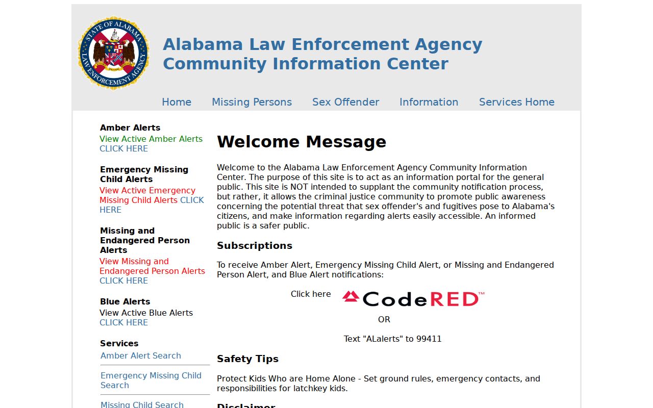
The registry is a focused safety record, not a list of all Tuscaloosa neighbors. Report incorrect or prohibited-location information to law enforcement.
The Alabama victim notification service accepts account and contact details for event notices.
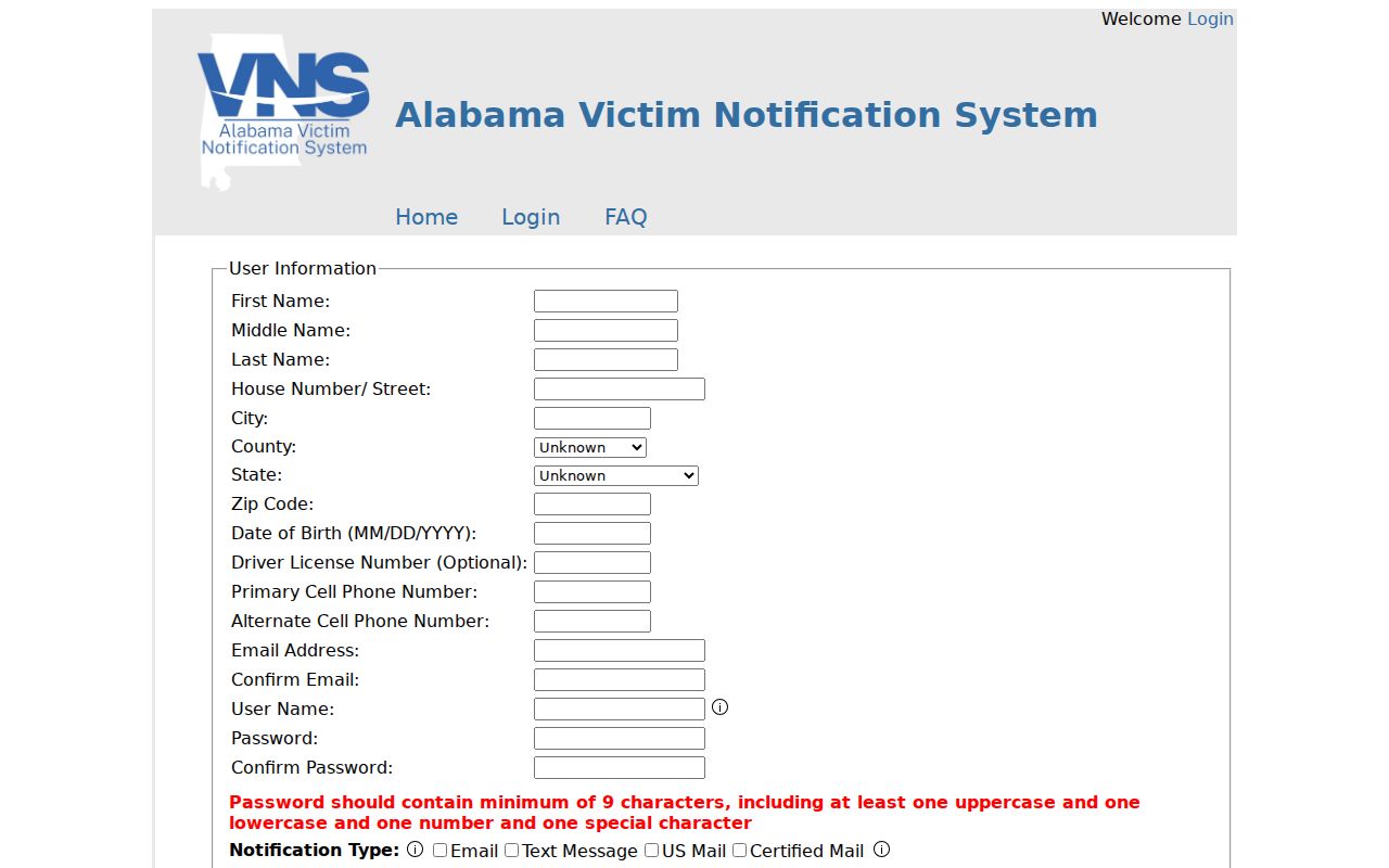
That service delivers notices to enrolled users. It is not a public directory and should not be treated as block-level resident data.
The Alabama Department of Corrections Inmate Search is another narrow official tool. It searches current state inmates by exact six-digit AIS number or by name and does not supply a general Tuscaloosa neighborhood roster.
Tuscaloosa Organization Identity Checks
A nearby sign, project applicant, or public group name may lead to an entity rather than a resident. The Secretary of State government-records directory points to official state sources.
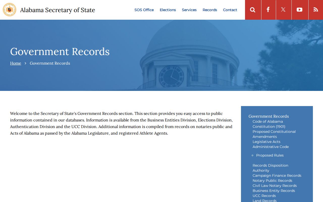
The directory helps route a search to the proper public system without turning a business contact into a home address.
The Alabama Business Entity Records search supports entity name, entity number, officer or agent or incorporator, and reservation or registration ID modes.
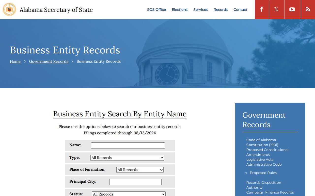
An officer, agent, or incorporator record verifies a filed role. A registered office is a contact point, not proof of where that person lives.
Tuscaloosa Neighbor Privacy Boundaries
Utility customer records, delivery data, and motor-vehicle addresses do not form a public neighborhood roster. DMV information is restricted under federal and state rules. Protected voter fields remain suppressed in public extracts. Sealed cases and confidential vital records do not become open because another record for the same person is public.
A careful neighbor lookup also respects space. Do not use parcel or voter information to watch a person, defeat an address protection, or make unwanted contact. Historic directory entries and planning records can support family history, civic research, and understanding of a changing block without turning a dated clue into a claim about current life.
Privacy and lawful use. Use Tuscaloosa neighbor records for lawful personal and civic purposes. Never stalk, threaten, harass, intimidate, or impersonate another person.