
Walk a Tuscaloosa Street
A street-by-street search works best as a chain. Begin with one known number, then expand only after the parcel is confirmed. The county roll supplies the stable parcel key, the map places that parcel among its neighbors, and the recorded deed identifies the legal transfer. A voter extract or a directory may add resident evidence, but neither replaces the land record. This order also prevents a similar street name or a detached mailing address from pulling the search onto the wrong block.
- Enter the physical number and street name in the Tuscaloosa County Public GIS/CAMA search. Record the PPIN, account, owner, situs, mailing address, legal description, district, and subdivision.
- Open the parcel in Public GIS. Click lots in sequence and preserve each parcel identifier rather than relying only on consecutive house numbers.
- Follow the current deed reference to Probate Records & Recording. Search the seller as a buyer in an earlier deed to move backward through title.
- Use a lawfully requested voter file only for the fields and geography supplied. Registration is evidence dated to the roll, not a complete household list.
- For an older occupant, check the address or street section in a dated reverse directory and pair it with deeds, census records, or maps.
The result is a documented address trail, not a claim about everyone present today. The Tuscaloosa street directory is strongest when each name stays attached to its source date and role.
Tuscaloosa Street Search Fields
The Tuscaloosa County Public GIS/CAMA search accepts both property identifiers and address clues. For a named road, the physical address fields are the cleanest start. Contains matching helps when a suffix or full road name is uncertain. Broad queries stop at 100 results, so add a number range, district, or subdivision when a road returns too much.
| Field | Input | Required | Useful detail |
|---|---|---|---|
| PhyAddr # | Text, five characters | No | Physical street number |
| PhyAddr St Name | Text, 20 characters | No | Contains matching for street name |
| Owner | Text, 40 characters | No | Last, first, middle; surname alone can work |
| Parcel Pin or Account | Text, eight characters | No | Omit leading zeroes |
| District | Dropdown | No | Separates Tuscaloosa from county and nearby tax districts |
| Subdivision | Dropdown | No | Narrows streets repeated across developments |
Results can be sorted by parcel address, owner, owner mailing address, district, acreage, value, or subdivision and exported to Excel. Keep that export small and dated. It is a working index, while the deed and plat control legal ownership and boundaries.
Map Tuscaloosa Street Parcels
After finding one parcel, use the county map to inspect the block lot by lot. The viewer includes parcel geometry and configured layers such as aerial images from 2016, 2020, and 2024. It also links mapped land to the property record. County mapping staff build ownership maps from deeds, subdivision plats, wills, assessments, and surveys under the Public Land Survey System.
The Tuscaloosa County Mapping Department explains how those tax maps are made and why they are not conveyance documents.
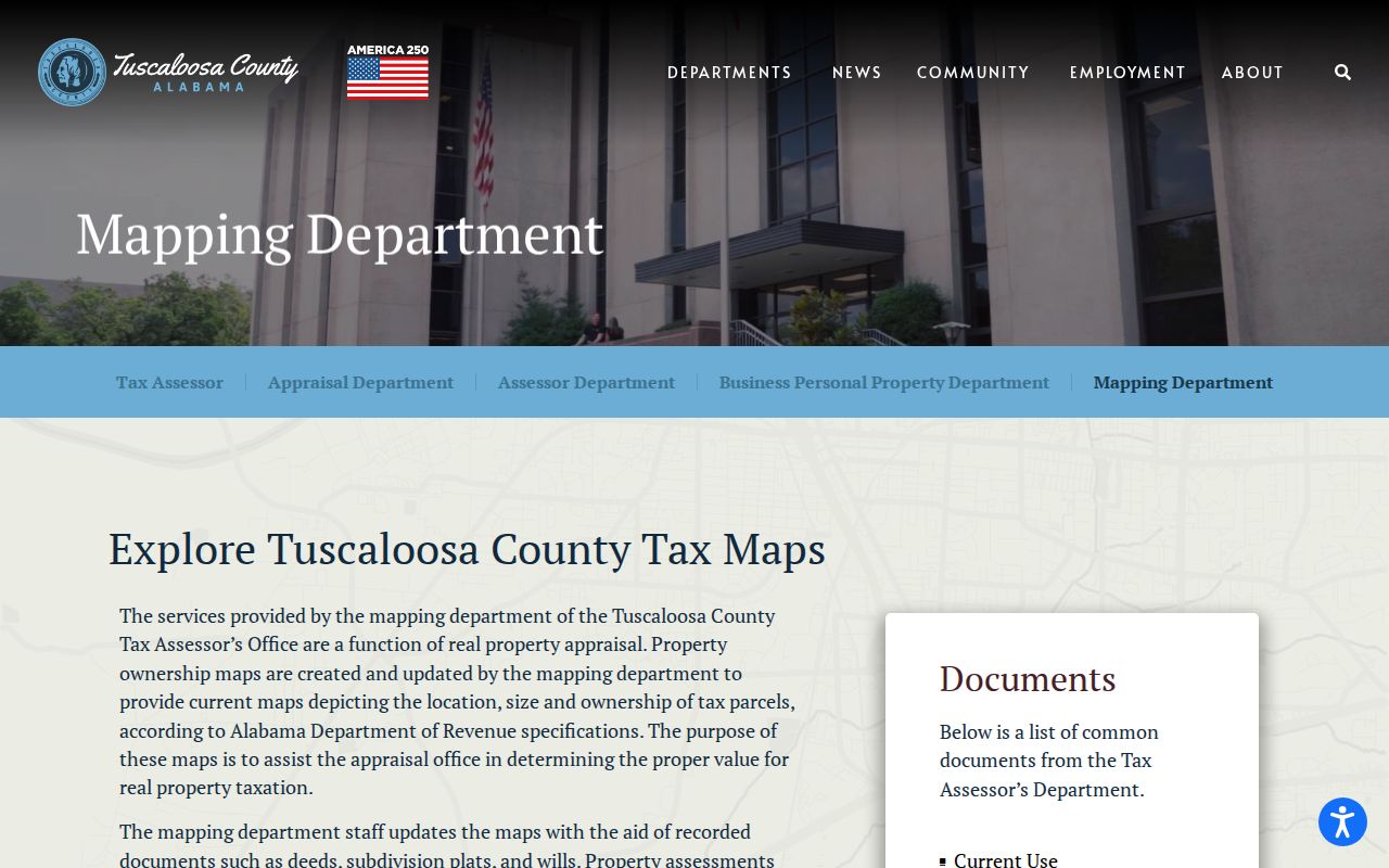
The county warning matters on irregular blocks, split tracts, and streets near annexed land. Capture the legal description and plat reference before treating a map line as final.
- Parcel
- A mapped unit of land tied to a county account or PPIN.
- Situs address
- The physical location assigned to the parcel, distinct from the owner’s mailing address.
- Plat
- A recorded drawing that sets out lots, blocks, streets, and dimensions.
- Criss-cross directory
- A dated directory arranged by address or street rather than only by surname.
Tuscaloosa Records Along Streets
No one source is a full residents roll. The useful sources overlap, and their gaps differ. A parcel roll can identify an owner and mailing destination but omits most renters. A deed proves a transfer but not the date someone moved. Planning records may name an applicant without listing a household. The coverage table keeps each role clear.
| Address source | Custodian | What it adds | Access route |
|---|---|---|---|
| Parcel roll | County Tax Assessor | Owner, situs, mailing address, value, legal parcel | Free CAMA search or assessor counter |
| GIS | County Mapping | Adjacency, boundaries, aerial layers | Free viewer or mapping staff |
| Deeds and plats | Probate Records & Recording | Named parties, transfer, legal description | Account search, counter, copy request |
| Voter file | Secretary of State and Board of Registrars | Selected public voter fields by requested geography | Paid statutory extract; protected fields omitted |
| Permits and cases | City Building, Planning, or Clerk | Address, applicant, work, case dates | Published packets, phone, email, records request |
| Reverse directory | TPL or ADAH | Listed occupant or business in an issue year | Library, archive, microfilm, or selected digital copy |
The parcel identifier connects tax, map, deed, and permit evidence. The address connects these records to voter and directory entries. Where either label changes, the legal description carries the chain.
Tuscaloosa Street Owner Clues
An assessor result separates the parcel location from the address where the owner receives mail. Matching situs and mailing fields, plus a homestead exemption, may support an owner-occupancy inference. It still does not prove who sleeps at the address. Tuscaloosa’s owner-occupied rate was 42.9 percent in the cited Census period, making that caution especially important.
The county Appraisal Department also publishes annual valuation notices in owner and parcel order.
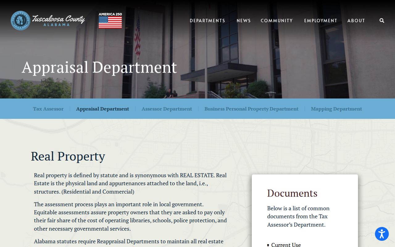
Those static notices are a useful fallback when an interactive query changes. They remain assessment records, so describe the named person as assessed owner rather than current resident.
Note: A mailing address may point outside Tuscaloosa even when the parcel itself sits on a Tuscaloosa street.
Chain Tuscaloosa Street Deeds
The Tuscaloosa County Probate Judge is the recorded-document custodian for deeds, mortgages, releases, plats, and related instruments. Ordinary online name searching runs from March 20, 1975 to the present. Earlier work uses scanned Direct indexes for sellers or grantors and Reverse indexes for buyers or grantees. A grantor transfers an interest; a grantee receives it.
Start with the current deed reference on the parcel card. Retrieve that instrument and copy the book and page or instrument number, recording date, party names, and legal description. Search the seller as a grantee to find the prior purchase. Repeat while the legal description remains consistent. When online indexing ends, use the Probate counter at 714 Greensboro Avenue, county deed books, Alabama Department of Archives and History microfilm, or local library resources. Regular deed copies are listed at $1 per page, with $3 added for certification.
A certified copy comes from Probate, not from the street directory map. That difference is vital in estate and boundary research.
Tuscaloosa Streets in Planning Files
Building and planning records add events tied to a place. Tuscaloosa permit forms can capture the site address, project, subdivision or lot, owner and contractor contacts, project size, and the City or planning-jurisdiction district. No complete anonymous historical permit search was verified, so older address files may require Building by phone or email, or a narrow City Clerk request.
The City Planning and Zoning gateway is the starting point for current planning material.
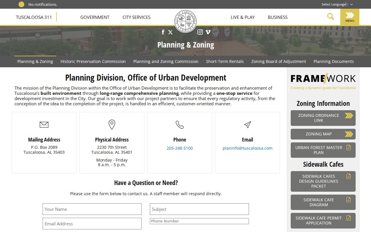
A planning applicant is connected to the case, not automatically to residence. Read the case date, property address, and stated role before linking any name to the block.
The city also publishes neighborhood and area planning documents for places such as Alberta, Forest Lake, West Tuscaloosa, downtown, and Rosedale.
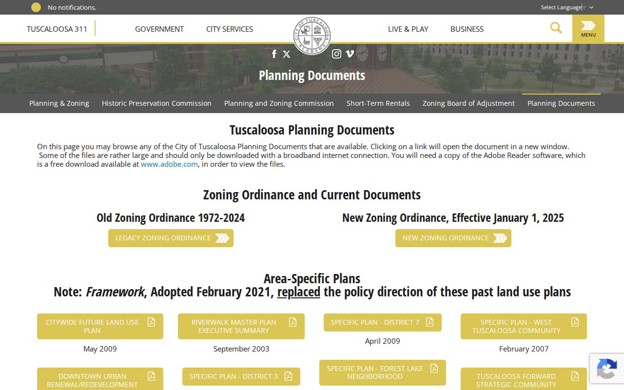
These plans define local context and public geography. They are not private membership lists or household rosters.
Tuscaloosa Address Case Trail
Historic Preservation Commission agendas form another current address-keyed series. Cases can identify the district, property address, applicant, proposed work, and disposition. They are useful when a historic parcel has been altered or when an address appears in a district record but not in a simple resident search.
The City’s Historic Preservation Commission case page provides the official series.
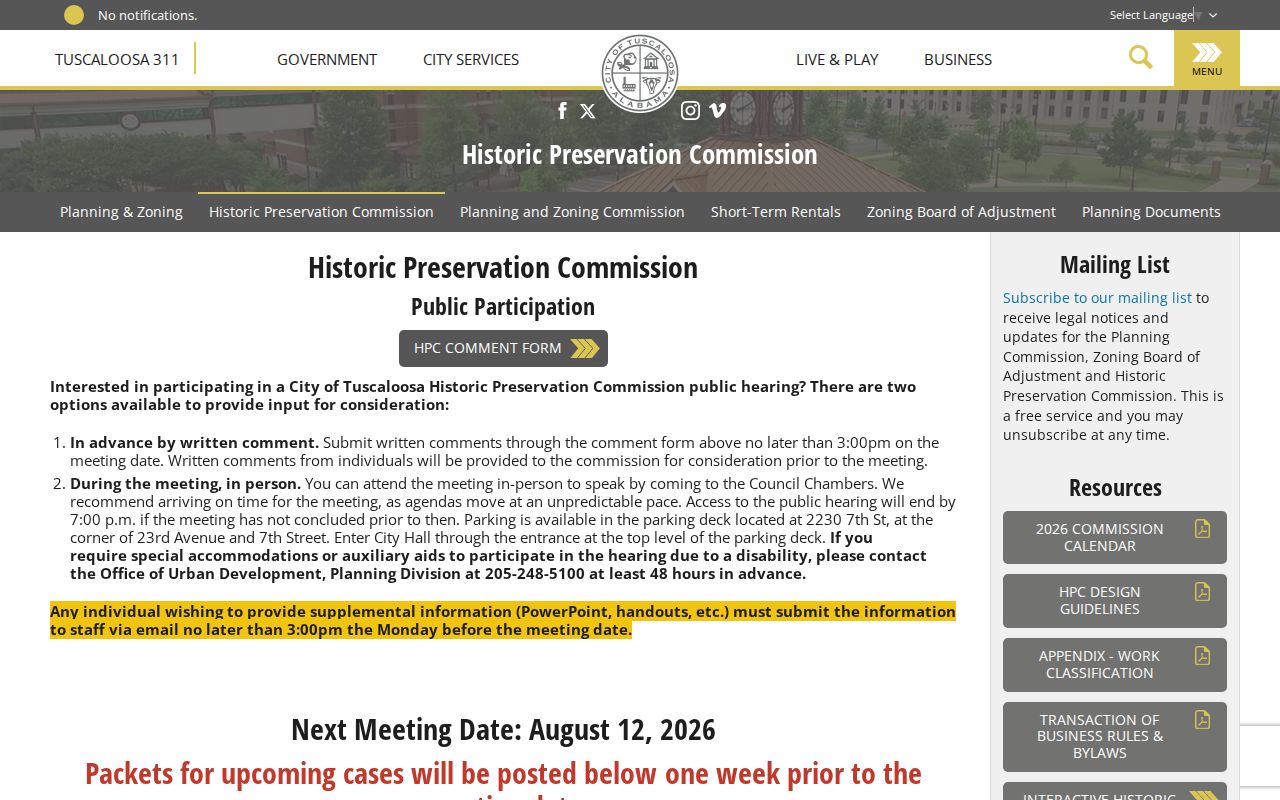
The visible case trail also shows why addresses need dates. The city’s new zoning ordinance took effect in 2025, while legacy ordinances and older area plans preserve a different land-use context.
Tuscaloosa Streets and Voter Data
Alabama’s My Voter Page is a self-verification and polling tool, not an open street browser. A broader voter list is separately requested under Alabama law. The form can scope county, city, or district geography and select active, inactive, or both statuses. Chosen public fields may include name, residence, status, race, gender, districts, and participation in up to ten elections. Participation never reveals a ballot choice.
Electronic lists cost one cent per voter, while print is $1 per page. Protected qualifying officials and spouses may have all fields except name suppressed. County office, telephone, email, and written-request channels remain necessary when the public tools do not explain a status. The Board of Registrars is at the Courthouse Annex, 2501 7th Street, Suite 200, and can be reached at 205-464-8415.
Note: Inactive status is not proof that a person is ineligible or gone; Alabama uses notice and federal-election waiting periods.
Tuscaloosa Street Geography Mismatches
A Tuscaloosa mailing line does not prove that a parcel is inside the city. Annexed corridors, unincorporated pockets, Lake Tuscaloosa, and neighboring Northport complicate the label. County tax districts distinguish Tuscaloosa, Northport, County North, County South, Moundville, Brookwood, Lake View, and Vance. Those districts provide jurisdiction evidence that a postal city name cannot.
Verify delivery with USPS, then compare the parcel’s tax district and the City’s limits map. For historical work, preserve the subdivision, lot and block, section-township-range, and plat reference. No official citywide renumbering year or street-name concordance was found, so older Sanborn sheets and dated directories should bridge changed numbers. The full historical shelf belongs on the Tuscaloosa city directory page; the address task here is to keep the same legal parcel in view.
Tuscaloosa Street Directory Limits
The public record never enumerates every person at an address. Renters and household members are normally absent from the tax roll. GIS shows mapped land, not occupancy. A deed proves a legal transfer, not a move-in date. A reverse directory omits unlisted people and reports only its issue year. Utility, delivery, and motor-vehicle address data are not open neighborhood rosters.
Use the Tuscaloosa street directory to test a precise, lawful question: who owned this lot on a given date, which named applicant filed a case, or which listed occupant appeared in a dated source? Record contradictions instead of merging names. Recheck current parcel data because county GIS disclaims completeness and timeliness.
Lawful use. Tuscaloosa address records are for lawful personal, historical, and civic research. Never use them to stalk, harass, intimidate, or harm another person.